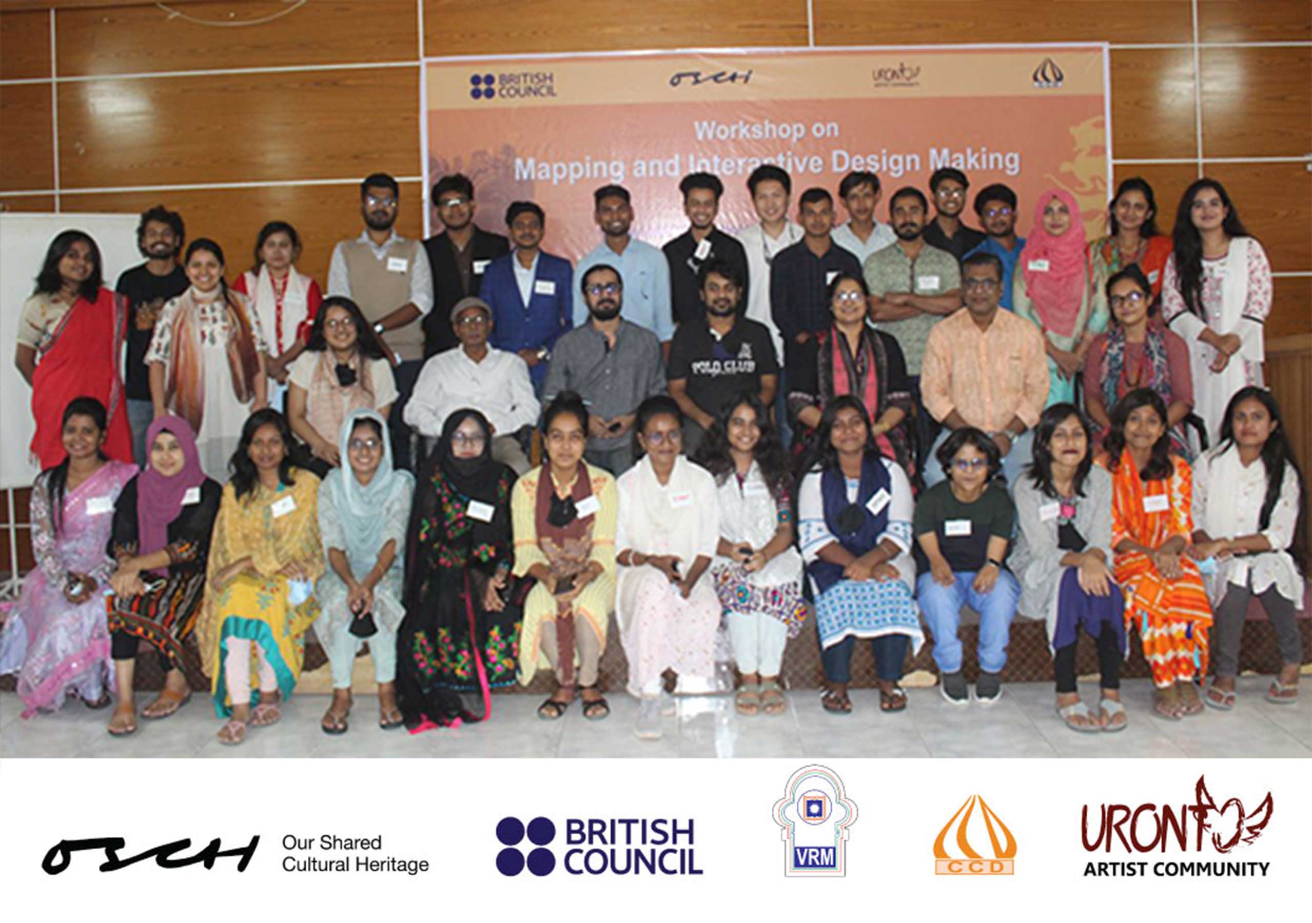
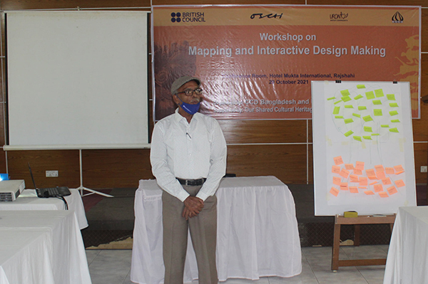
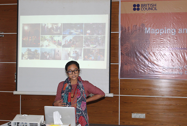
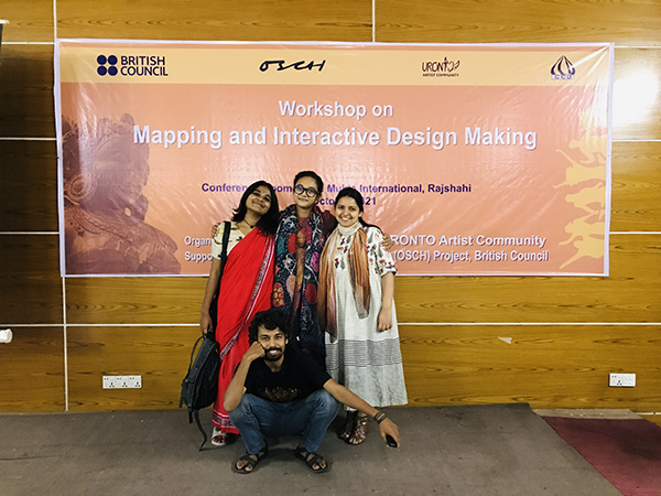
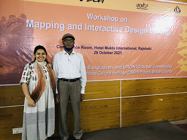
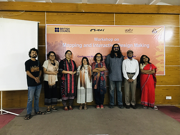
01 Nov Workshop with youth on Cultural Mapping and Interactive communication
29th Oct 2021 | Rajshahi.
Facilitators: Fouzia Mahin with assistance by Sibun, Uchhash and Sadya.
Participants: OSCH Youth board Rajshahi
Cultural mapping workshop is part of the training session for Our shared cultural Heritage-OSCH Rajshahi youth board organized by URONTO Artist Community. The workshop was designed to deliver a clear understanding about cultural mapping, it’s importance and implementations in order to preserve and promote cultural heritage and museum narratives. The workshop was delivered in different phases of practical group activity in Rajshahi where the participants could learn about interactive communication through local content and context.
Contents of Activity:
- Introduction of Cultural Mapping
- Describing the Steps of Cultural Mapping
- Group work: Identifying local context and inspiration for Interactive communication design
- Basic practice of Interactive communication
- Selection of topic for communication
- First draft of activity outcome
- Cross check data with guidance from historian and scholar
- Developing final text
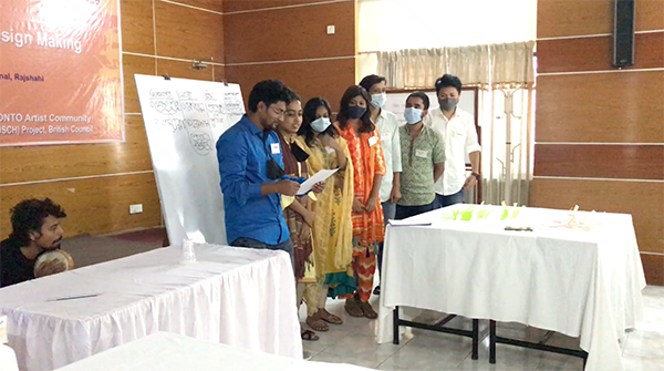
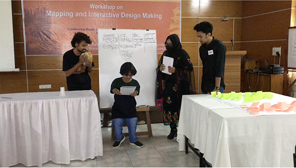
- Developing the draft presentation on the final text and history
- Demonstration of the research in performance.
- Documenting the final presentation
- Sharing experiences
Introduction:
What is cultural mapping:
Cultural mapping is a mode of inquiry and a methodological tool that aims to make the local stories, practices, relationships, memories, and rituals more visible in a meaningful way and constitutes a certain location.
Why needed:
Mapping our cultures in all their 360 degrees and their depth, keeping our diverse stories and multiple histories interrogating and renewing each other is a key cultural function of our time. Mapping makes culture more visible so that it can be utilized in new ways for exchanged, linking and further development. Cultural mapping has been recognized by UNESCO as a crucial tool and technique in preserving the world’s intangible and tangible cultural assets. … It is essential to understand the factors that influence perceptions of places, paying particular attention to personal and community interpretations of culture.
How:
Methodological steps of Cultural Mapping
- Analyzing (Data Collection, Data recording (reference), Research-Analysis, Synthesis (blending)
- Inventory
- Mapping (Visual mapping, Digital mapping, Text based mapping, Interactive mapping)
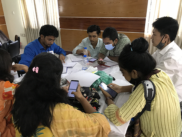
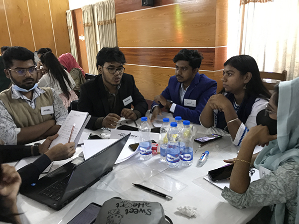
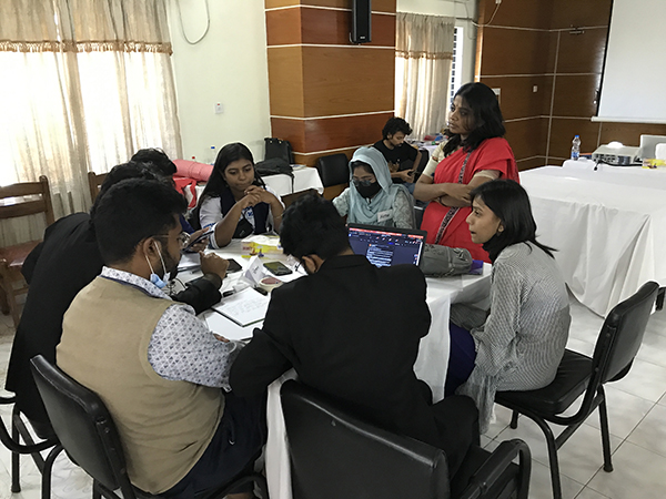
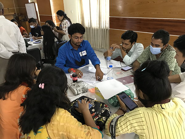
The entire youth board got divided into 4 groups named after a mango from Rajshahi and they chose one site for their research. Participants collected basic data by discussion about their selected heritage sites. They did some online research and gathered information.
Team: 01
Title: Gopalbhog
Topic: Rani Bhabani
Rani Bhabani (Bengali: রাণী ভবাণী) (1716–1795) was a Hindu zamindar, also known as the ‘Queen of Natore’ during the British colonial era in what is now of Rajshahi, Bangladesh. She was married to Maharaja Ramkanta Moitra (Ray), ‘Zamindar’ of Natore estate. Rajshahi Raj or Natore estate was a large zamindari which occupied a vast position of Bengal. The Natore estate had an area of nearly 34,000 square kilometres and included not only much of North Bengal but also large parts of the areas later comprising the administrative districts of Murshidabad, Nadia, Jessore, Birbhum and Burdwan. After the death of her husband, Rani Bhabani of Natore Rajbari, expanded both the estate and the palace.
Team: 02
Title: Langra
Topic: Chhoto Shona Moshjid / Chhoto Shona Mosque
The mosque was built during the reign of the Sultan of Bengal Alauddin Husain Shah, between 1493 and 1519. The fifteen domes of the mosque were once gilded, giving the mosque the name of Choto Shona Masjid (Small Golden Mosque). The mosque is one of the best-preserved sultana monuments under protection by the Department of Archaeology and Museums, Governments of Bangladesh. The gilding that gave the building its name does not exist anymore. The mosque premise, which covers an area of 42 m from east to west by 43.5 m from north to south, was originally surrounded by an outer wall (now restored) with a gateway in the middle of the east side.
Team: 03
Title: Khirshapat
Topic: Mahasthangarh
Mahasthangarh dates back to at least 3rd century BC and is acknowledged as the earliest city-site so far discovered in Bangladesh. Somapura Mahavihara at Paharpur in Naogaon District was once the biggest Buddhist monastery south of the Himalayas.
The word ‘Mahasthan’ means a place that has excellent sanctity and ‘Garh’ means fort.
Several historical sites are located within the rampart wall, including a mausoleum (Mausoleum of Shah Sultan Mahisawar Balkhi), a temple site (Bairgir Bhita), remnants of an ancient palace (Parshuram’s Palace) with an ancient well (Jiyat Kunda) as well as residential blocks in the eastern rampart area. One of the highlights of Mahasthangarh is Govinda Bhita, where remnants of two Buddhist temples can be visited. The main temple was erected in the 6th century and next to it is a slightly smaller temple, which was built in the 11th century.
Team: 04
Title: Himsagar
Topic: Paharpur
Geographically located to the north-west of Bangladesh in the district of Naogaon, the heart-land of ancient “Varendra”, close to the village of Paharpur the extensive ruins of the Buddhist monastic complex are the most spectacular and important pre-Islamic monument in Bangladesh. The first builder of the monastery was Dharmapala Vikramshila (770-810AD), the king of Varendri-Magadha, as inscribed on a clay seal discovered in the monastery compound.
Evidence of the rise of Mahayana Buddhism in Bengal from the 7th century onwards, Somapura Mahavira, or the Great Monastery, was a renowned intellectual centre until the 12th century. Its layout perfectly adapted to its religious function, this monastery-city represents a unique artistic achievement. With its simple, harmonious lines and its profusion of carved decoration, it influenced Buddhist architecture as far away as Cambodia.
Then they blended these information with narratives by local scholar from Rajshahi. The collected data was divided into segments to align information in a puthi format. For mapping method, they focused on Interactive mapping and used Puthi (manuscript) writing style so that the it becomes more connecting with local audience and viewers. Also, the visual representation was as a scroll painting which also connects with local traditional pattern that everyone can easily interact with.
The workshop helped them to prepare their team with research data and a draft of interactive mapping process. Later this research will be implemented in promoting and showcasing heritage narratives through performative activity.
The OSCH project is initiated by British Council and Uronto as the strategic partner design and facilitate various activity under the program in order to connect youth and heritage and create a new ownership in museum sector for youth leaders.
Sorry, the comment form is closed at this time.